Raden Pranantya Hapsara is a GIS and full-stack developer based in Jakarta, Indonesia. He has been building web applications, including geospatial systems, since 2017.
His work covers WebGIS, spatial APIs, and remote sensing, as well as web products outside geospatial. He mostly uses JavaScript, TypeScript, React, Next.js, Python, PostgreSQL/PostGIS, and Google Earth Engine.
He works with teams in agritech, carbon monitoring, and public-sector planning. The systems he builds support land-use decisions, supply-chain traceability, and audit-ready satellite evidence.
Selected works (11)
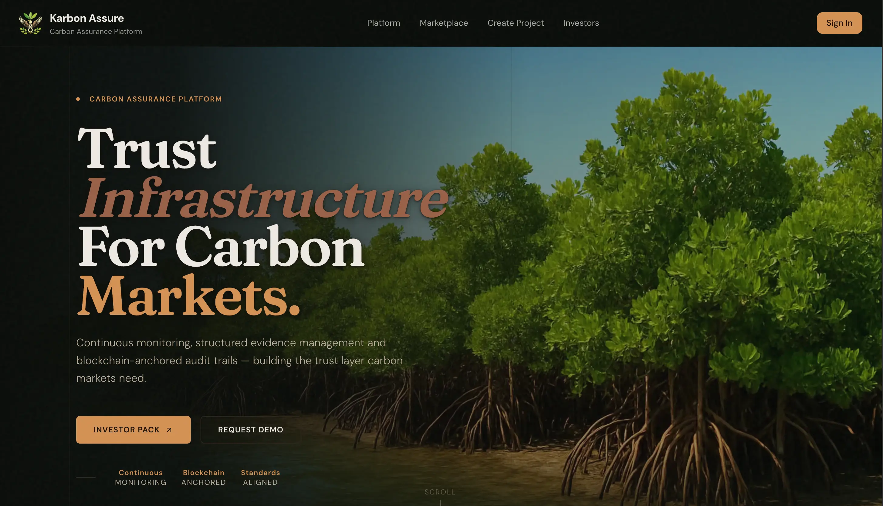
01. Karbon Assure
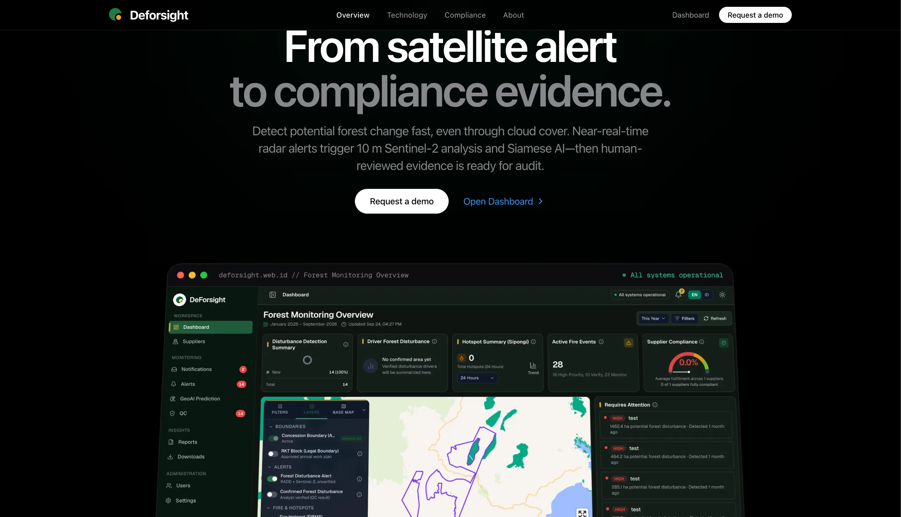
02. DeForsight
03. Firescore

04. Kompas

05. Stylo

06. SunArloji

07. Syrika

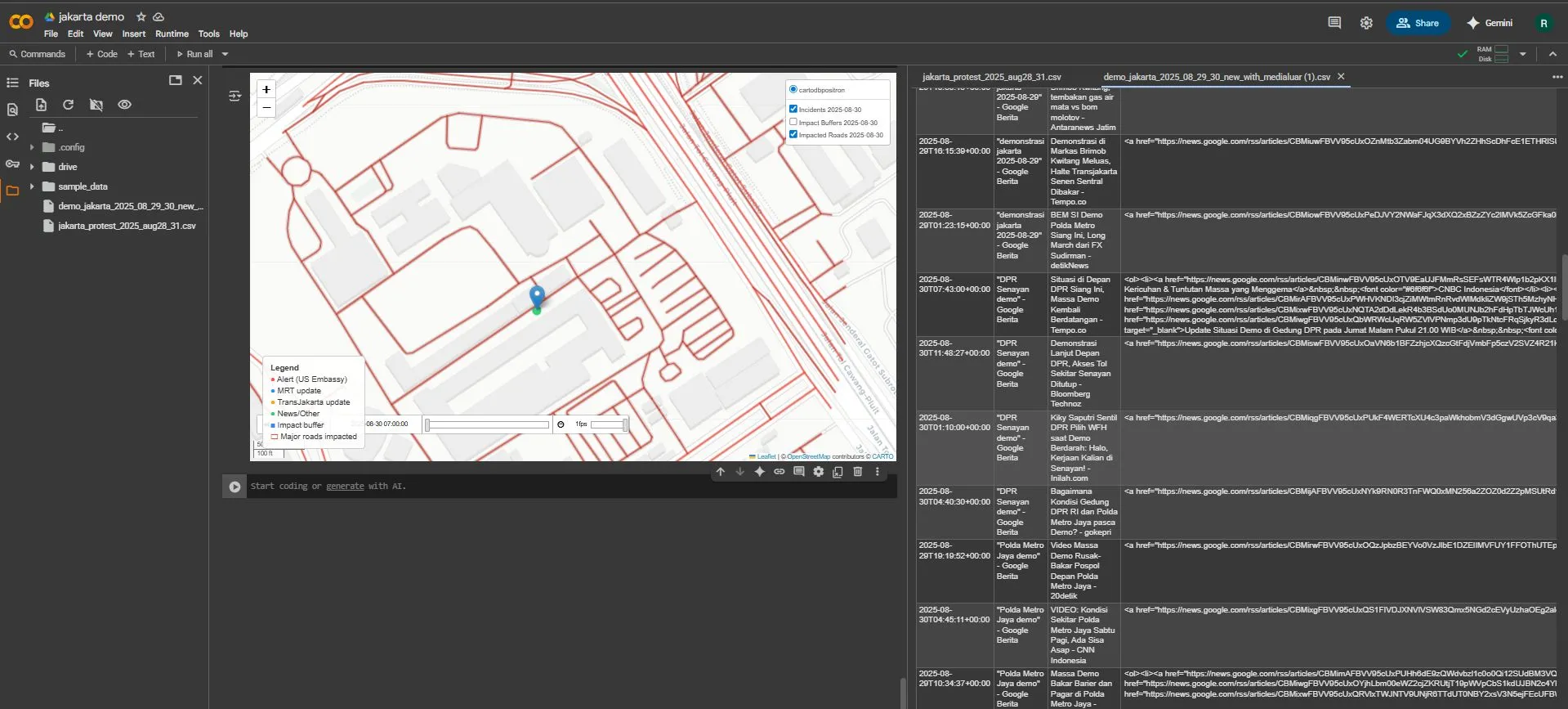
08. Massive Protests in Jakarta
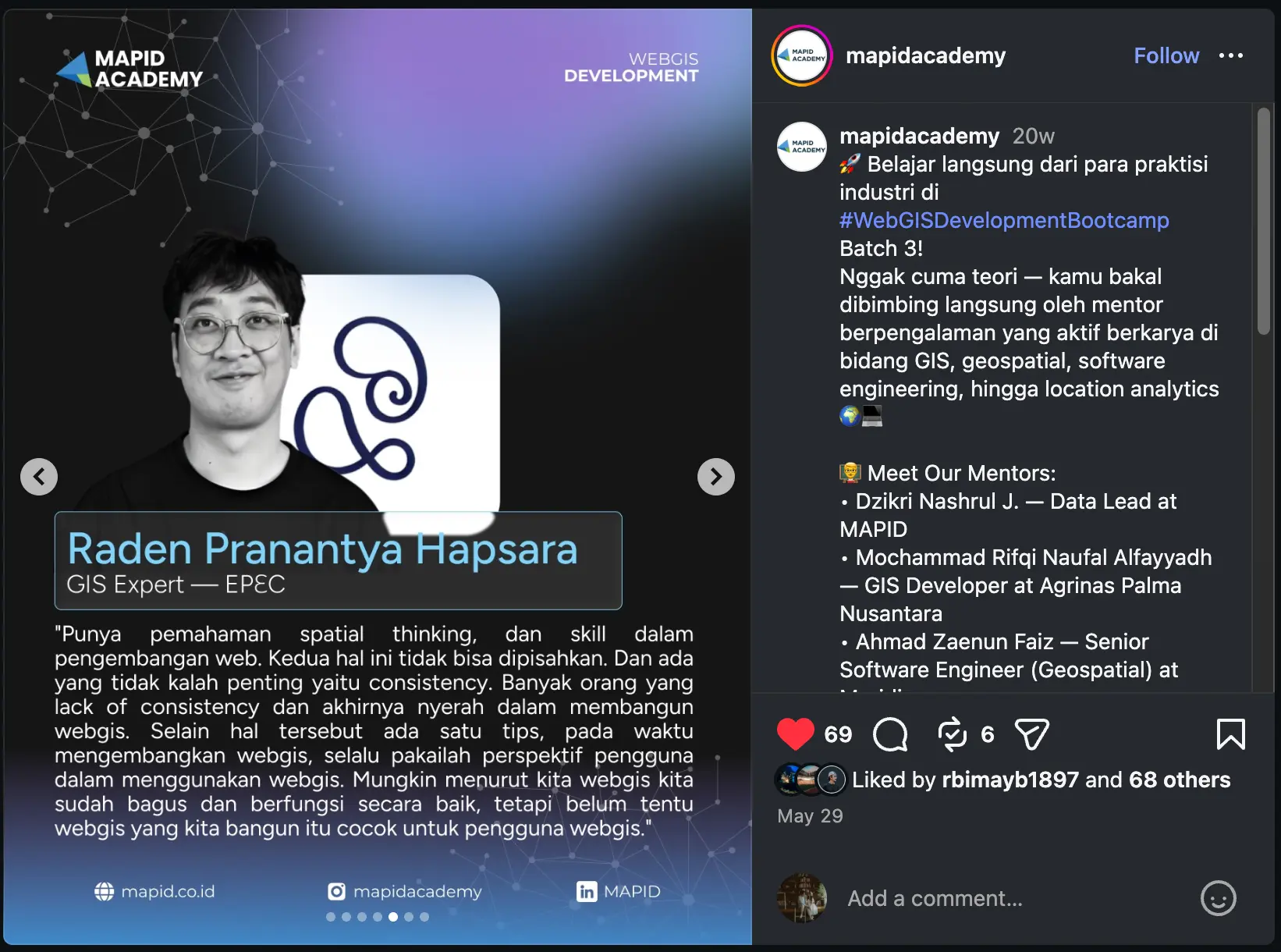
09. MAPID
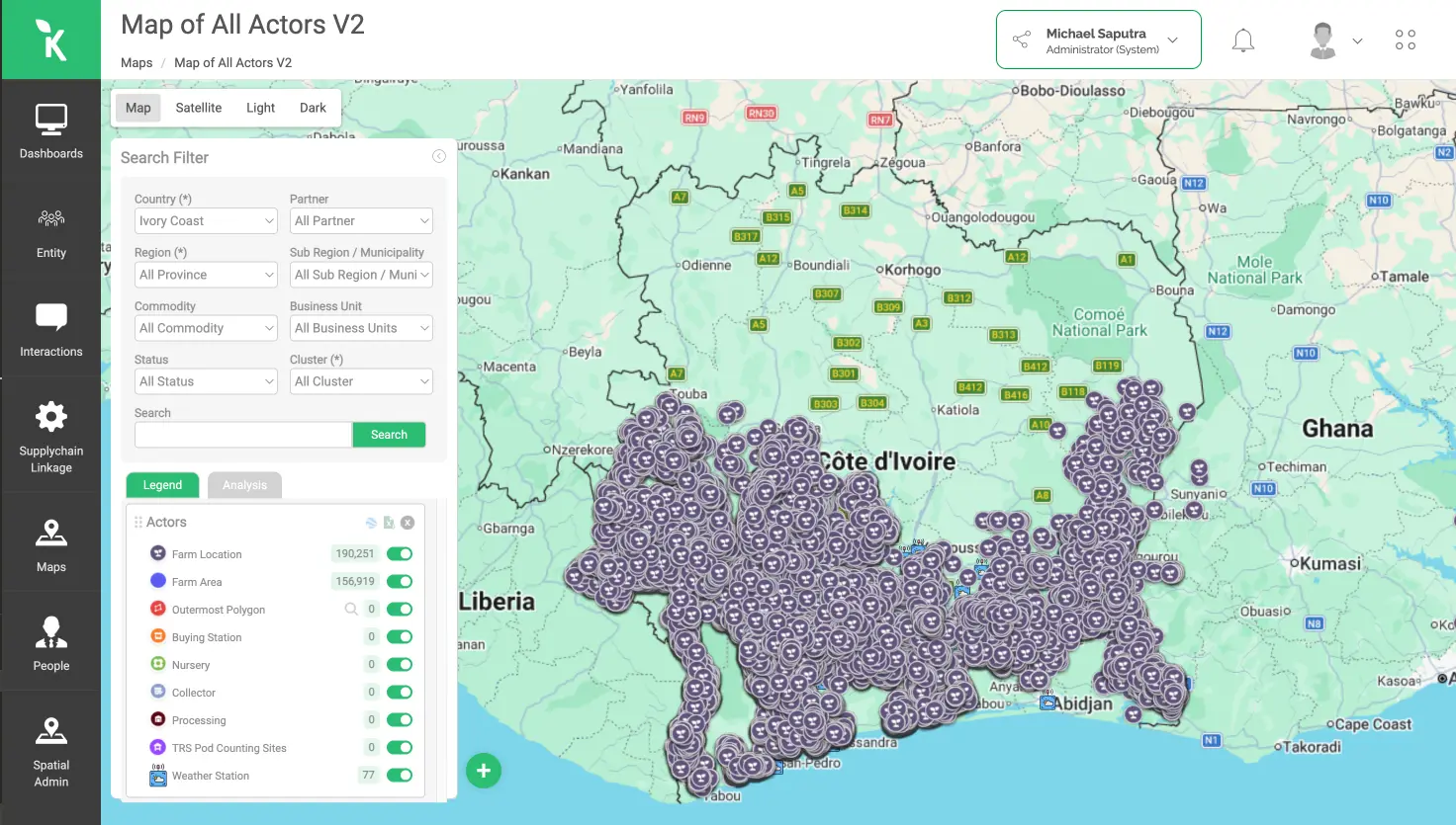
10. Koltiva
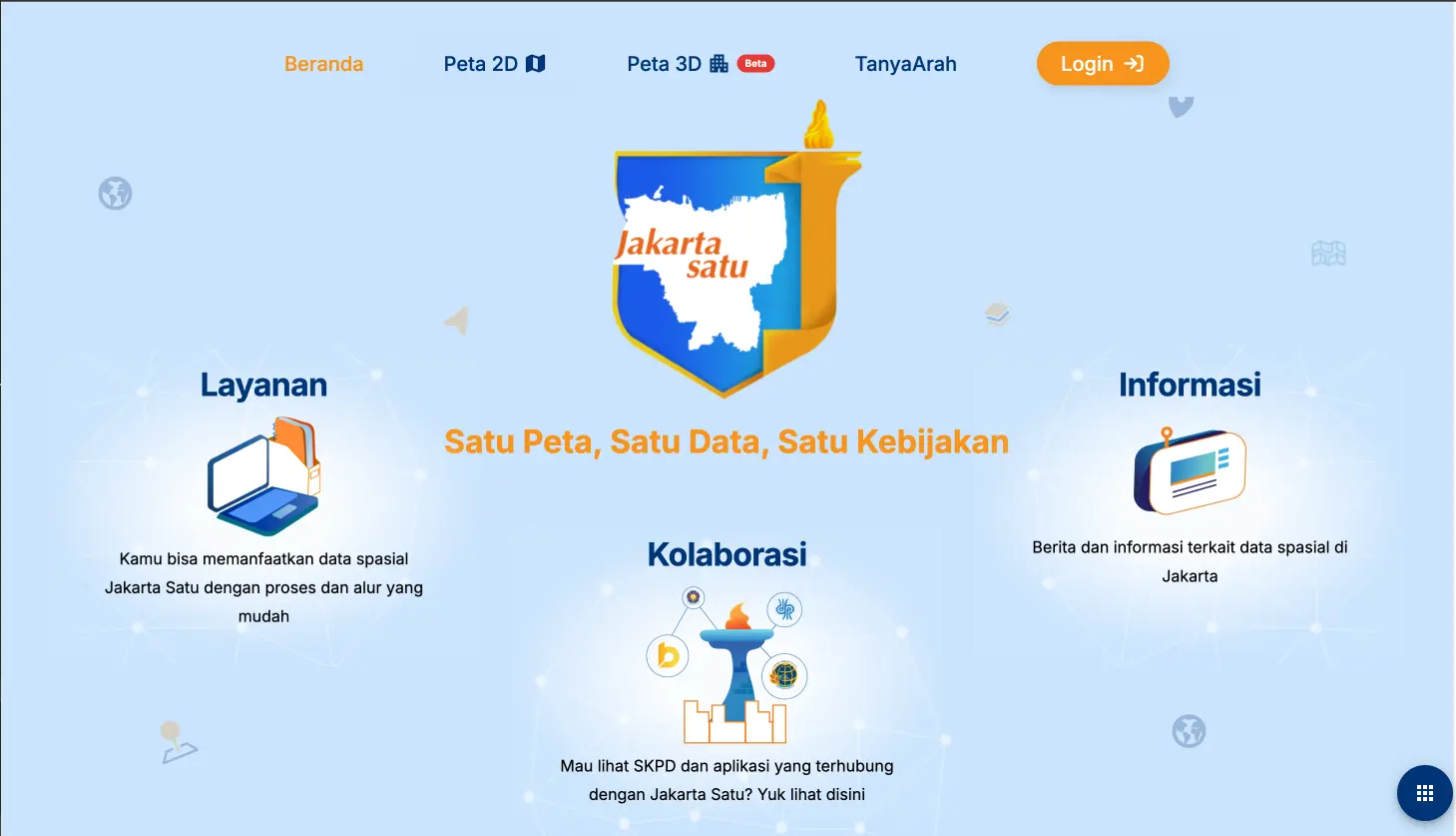
11. Jakarta Satu
Credentials
- BNSPGeographic Information Systems Manager, Level 7, through 2027
- UGMBachelor of Science in Cartography and Remote Sensing